

Backup offers
$6,720 Closing Credit¹

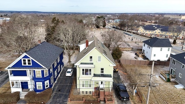
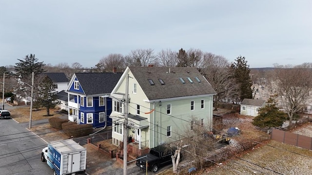
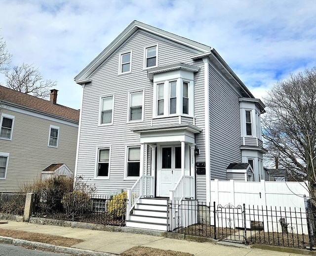
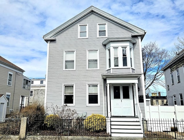
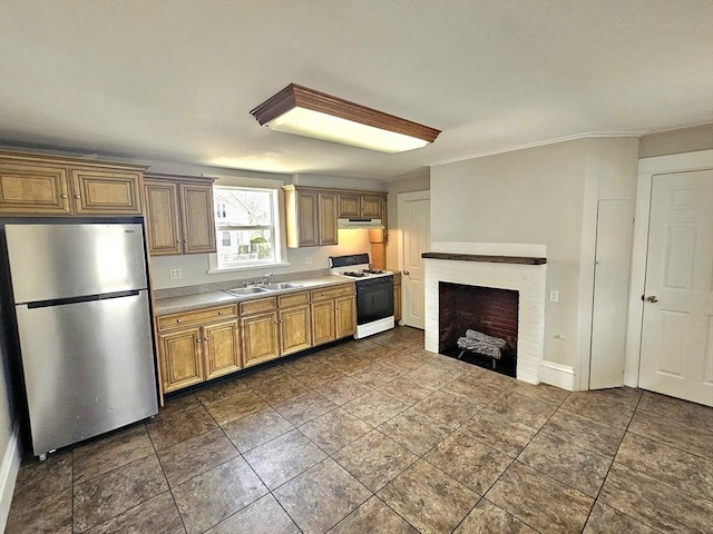
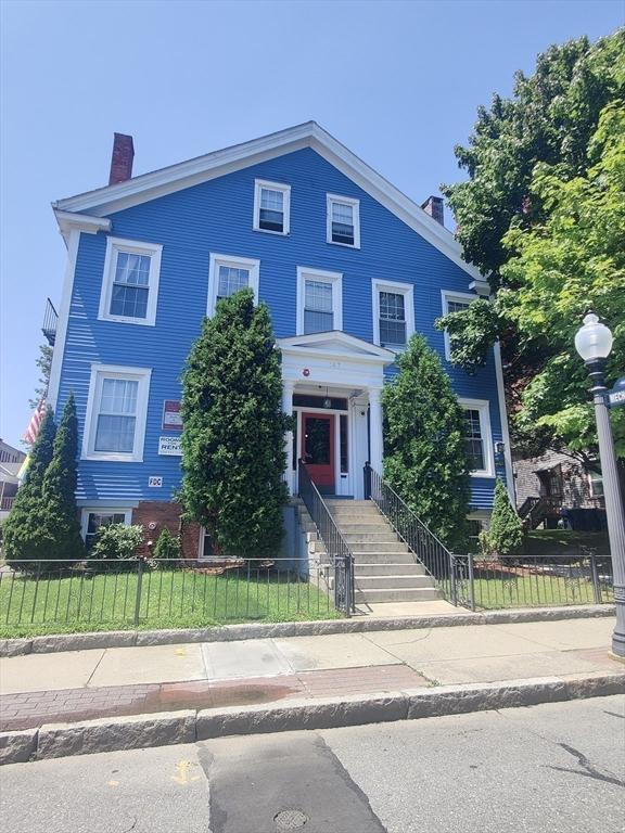
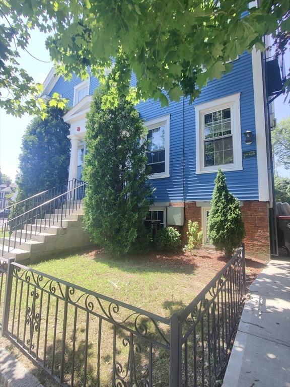
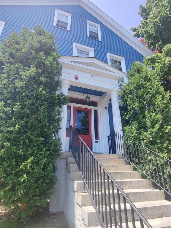
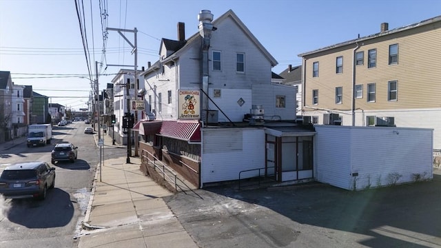
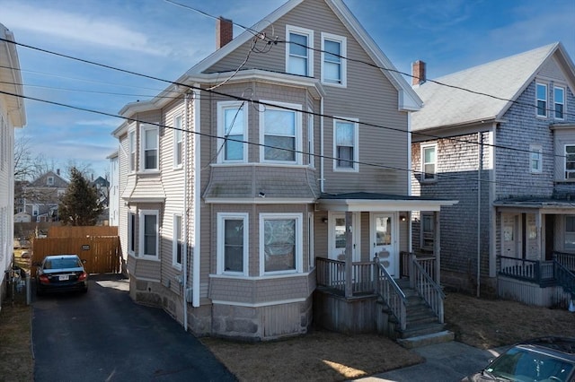
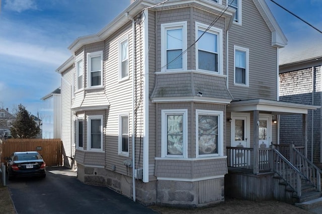
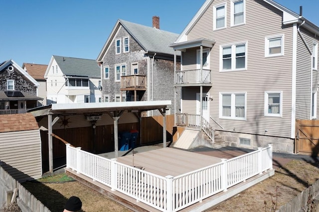
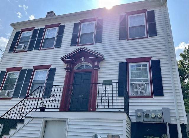
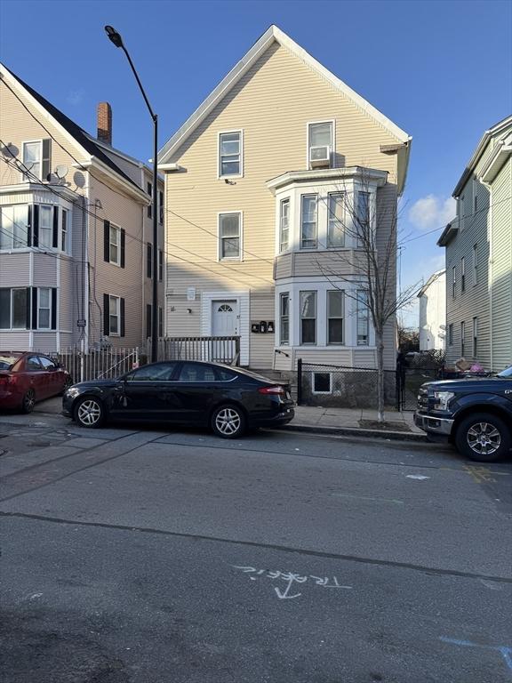
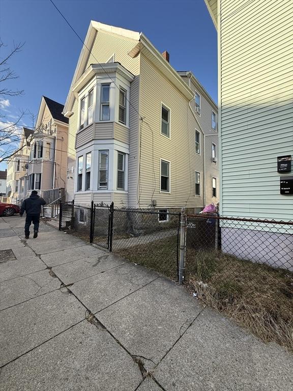
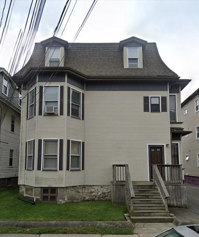
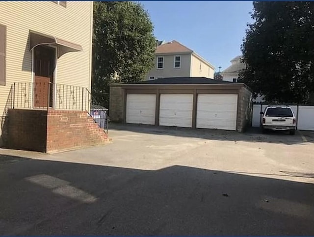
#73334605, The Mathew J. Arruda Group, Listing Office: Compass
| Date | Event | Price |
|---|---|---|
| Jul 29, 2021 | Home Sold | $281,000 |
| Jun 27, 2019 | Home Sold | $185,000 |
| Jan 08, 2018 | Home Sold | $137,500 |
| Dec 12, 2002 | Home Sold | $131,400 |
| Nov 26, 1999 | Home Sold | $50,000 |
| Sep 19, 1996 | Home Sold | $51,300 |
| Dec 29, 1995 | Home Sold | $53,000 |
| Year | Assessment | Property Tax |
|---|---|---|
| 2024 | $303,600 | $3,643 |
| 2023 | $235,600 | $3,367 |
| 2022 | $183,100 | $2,845 |
| 2021 | $179,000 | $2,791 |
| 2020 | $154,500 | $2,497 |
| 2019 | $135,200 | $2,227 |
History based on county public records data.
3
John A. Parker Elementary School
Public District PK-5
0.3 mi
•705 County St
4
Hayden McFadden Elementary School
Public District PK-5
0.5 mi
•361 Cedar Grove St
3
Sgt. William Carney Memorial Academy Elementary School
Public District PK-5
0.8 mi
•247 Elm St
School ratings are a score out of 10, where 10 is the highest and 1 is the lowest.
The neighbors living near this home have an average income of $26,667. The most common annual income of people living in New Bedford, MA is less than $<35k. The majority of families are single, no kids. Typical level of education for residents in this area is high school diploma.
How much money do the neighbors make?
What level of education do the neighbors have?
What types of families live nearby?
Are the neighbors home owners or renters?
How old are people in this area?
What do the neighbors do for fun?
Where do the neighbors shop?
Where do the neighbors go to eat?
What do the neighbors drive?
What do the neighbors listen to?
#73334605, The Mathew J. Arruda Group, Listing Office: Compass
#73343758, Tom Neves, Listing Office: eXp Realty
#73269285, Janice Hathaway, Listing Office: Venture


#73317598, Kyle Emond, Listing Office: Lion Gate Real Estate, Inc.
#73343671, Maurino Isidoro, Listing Office: Berkshire Hathaway HomeServices Robert Paul Properties


#73270525, Maureen Murray, Listing Office: Haven Realty Co LLC
#73343835, The FurChin Team, Listing Office: RE/MAX Real Estate Center

#73322794, Team ROSO, Listing Office: RE/MAX Vantage
#73325926, Nina Watson Weeks, Listing Office: Milbury and Company
#73329054, Team ROSO, Listing Office: RE/MAX Vantage