
New - 22 hours on Rocket
$7,718 Closing Credit¹
#73333096, Colleen Griffin, Listing Office: RE/MAX Vision
$6,234
closing credit¹
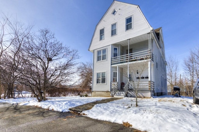
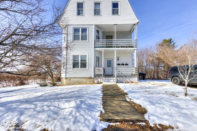
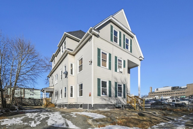
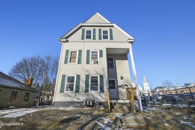
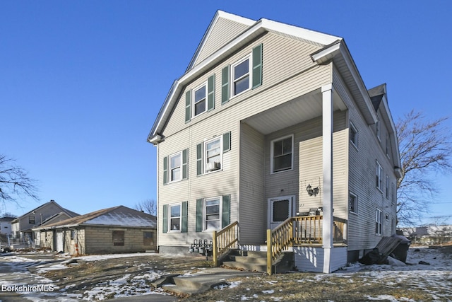
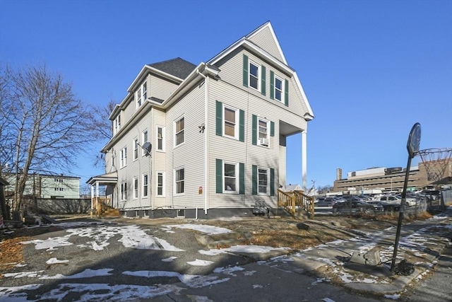
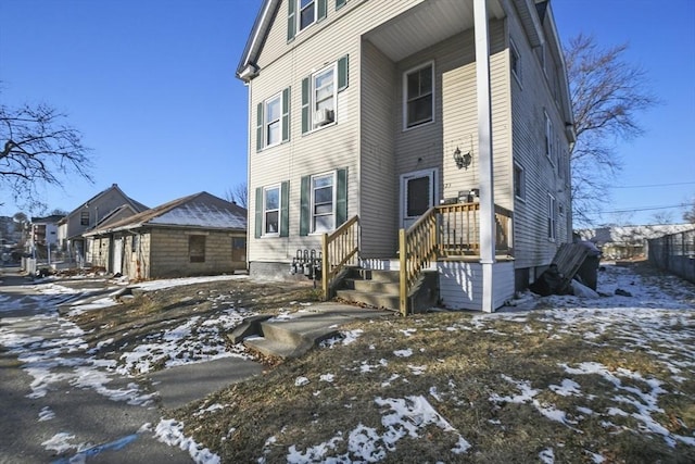
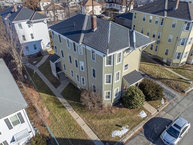
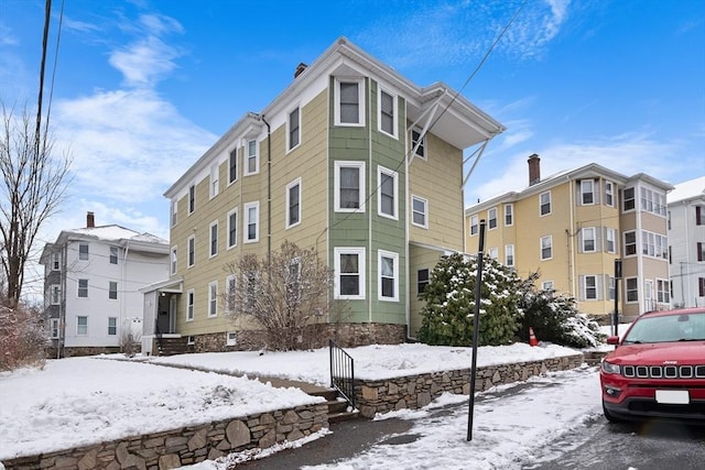
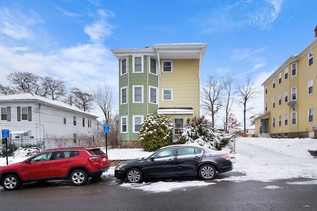
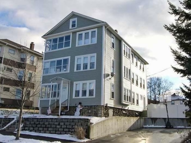
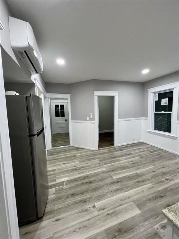
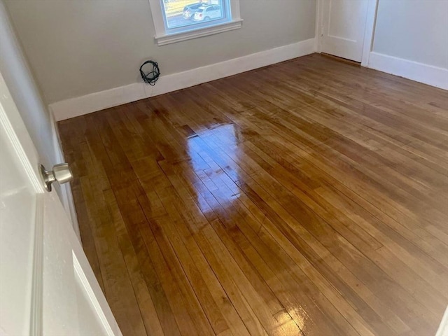
Owner will not vacate any units prior to closing. Fantastic Side by Side Two Family. Long-term tenants, excellent location with easy access to all Worcester offers, right on the corner of Burncoat St and Davidson Rd. Close to 290 and 190 and a short distance to Burncoat Park. This spacious building comes with off-street parking and a manageable yard space. The 1st unit holds three beds and 1.5 baths. Unit 2 has three beds, an updated bath, and a front deck, with large unfinished basements for additional storage. Each unit has separate Utilities, gas heating, newer electrical panels, and In-Unit Laundry.
 Disclaimer: The property listing data and information set forth herein were provided to MLS Property Information Network, Inc. from third party sources, including sellers, lessors and public records, and were compiled by MLS Property Information Network, Inc. The property listing data and information are for the personal, non commercial use of consumers having a good faith interest in purchasing or leasing listed properties of the type displayed to them and may not be used for any purpose other than to identify prospective properties which such consumers may have a good faith interest in purchasing or leasing. MLS Property Information Network, Inc. and its subscribers disclaim any and all representations and warranties as to the accuracy of the property listing data and information set forth herein. We may make use of information provided by users of this website - see our Terms of Use for more details on our privacy policy.
Data displayed may be a portion of, and not a complete set of all listings published in the MLS.
Last updated on: 2/7/2025, 10:20:49 AM Eastern. If you have any questions regarding the accuracy of this data, please contact us at help@rockethomes.com.
Get an agent. Get a mortgage. Save big.¹
$525,000
117 Burncoat St
$6,234
closing credit¹
Sell your home with Rocket and save even more!
Seller rebate
0.5% sale price²
| Date | Event | Price |
|---|---|---|
| Apr 05, 2021 | Home Sold | $410,000 |
| Aug 24, 2018 | Home Sold | $263,000 |
| Jan 31, 2002 | Home Sold | $223,000 |
| Apr 03, 1998 | Home Sold | $122,900 |
| Year | Assessment | Property Tax |
|---|---|---|
| 2024 | $440,800 | $6,061 |
| 2023 | $395,000 | $5,664 |
| 2022 | $359,900 | $5,474 |
| 2021 | $281,000 | $4,575 |
| 2020 | $251,700 | $4,279 |
| 2019 | $245,200 | $4,414 |
History based on county public records data.
4
Thorndyke Road
Public District KG-6
0.6 mi
•30 Thorndyke Rd
5
Lincoln Street
Public District PK-6
1.0 mi
•549 Lincoln St
5
Worcester Arts Magnet School
Public Magnet PK-6
1.0 mi
•315 Saint Nicholas Ave
School ratings are a score out of 10, where 10 is the highest and 1 is the lowest.
The neighbors living near this home have an average income of $81,019. The majority of Worcester, MA residents have income between $35k-100k annually. The majority of families are single, no kids. Typical level of education for residents in this area is post secondary degree.
How much money do the neighbors make?
What level of education do the neighbors have?
What types of families live nearby?
Are the neighbors home owners or renters?
How old are people in this area?
What do the neighbors do for fun?
Where do the neighbors shop?
Where do the neighbors go to eat?
What do the neighbors drive?
What do the neighbors listen to?
#73333096, Colleen Griffin, Listing Office: RE/MAX Vision
#245395, Maria Liccardi, Listing Office: LAMACCHIA REALTY, INC

#73329282, Maria Liccardi, Listing Office: Lamacchia Realty, Inc.
#73327537, Sue Gordon, Listing Office: Castinetti Realty Group
#73327178, Nabil Alabed, Listing Office: Centre Realty Group - Fenway
This home is located at 117 Burncoat St in Worcester, MA and zip code 01605 in the North Worcester neighborhood. This 2,777 square foot home, which was built in 1930, sits on a 0.13 acre lot. Features: 6 bedrooms, 3 bathrooms. It has been listed on Rocket Homes since January 7, 2025 and is currently priced at $525,000.
In January 2025 more than 41 listings in Worcester, MA were sold above the asking price. During the same period more than 9 listings were sold at asking price, while more than 43 were sold below. The inventory of homes for sale in Worcester, MA between December and January 2025 decreased by 15.2%. In January 2025, listings were on the market for 41 days. During the same period, the median list price in this real estate market was $451,667.